We reveal what the world cannot see
Karbotium Labs builds the planetary intelligence layer — fusing satellite radar, drone LiDAR, and AI to turn raw geospatial data into decisions that protect people, assets, and ecosystems.
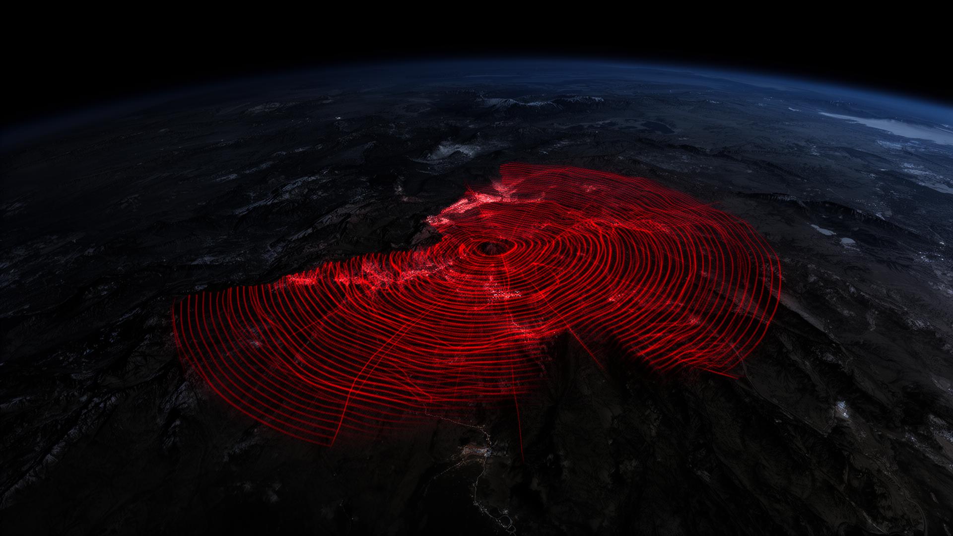
We fuse SAR satellite and LiDAR UAV data into AI-powered software that reveals what others cannot — delivering mission-critical intelligence.
Karbotium Labs builds the planetary intelligence layer — fusing satellite radar, drone LiDAR, and AI to turn raw geospatial data into decisions that protect people, assets, and ecosystems.
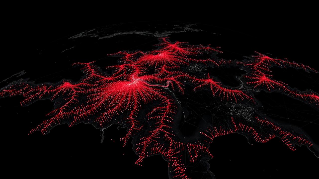
Active sensors that penetrate clouds and forest canopy, day or night.
Precision measurement, risk models, and biodiversity analysis at scale.
Geofenced alerts, role-based workflows, and webhook integrations.
Carbon & biodiversity metrics with certifier-ready exports.
Compliance monitoring & early-warning dashboards.
Subsidence alerts & contractual reporting.
Portfolio exposure & probabilistic risk scoring.
Persistent ISR & anomalous movement detection.
Geofenced anomaly alerts & rapid-evidence packages.
Our multi-source data fusion and proprietary AI models create compounding advantages that widen with every project.
Comprehensive dataset from multi-sensor fusion.
Training models on real-world project data.
Each project improves accuracy for all.
First to combine satellite, drone, and IoT data.

Finance & Strategy
Goldman Sachs investment banking alumnus, with over 20 years in finance and M&A.
Tech & Operations
Proven leader in scaling teams in environmental and technology sectors.

Chief Scientific Advisor
World-renowned scientist from Wageningen University. Authority on ecosystem services.
Join the next generation of planetary intelligence. Contact us to learn how Karbotium Labs can transform your data into actionable insight.
Contact Karbotium Labs